
Information portal
Westfriedhof Munich
Westfriedhof Munich combines extensive park-like grounds with a historic building ensemble on Baldurstrasse. This portal brings together the essentials for a well-prepared visit.
At a glance
- Area
- 49.7 ha
- Burial plots
- approx. 41,700
- Sections
- Am Forum, Along the cemetery wall, By the pond, By the stone circle, Larch grove and Linden grove
Visitor information
Prepare your visit
Quick access to the published information for planning a visit.
Address and directions
Visitor address, location and directions.
Learn moreOpening hours
Access hours for the cemetery.
Learn moreCemetery map
Maps and guidance for finding your way around the cemetery grounds.
Learn moreAdministration
Contact details and information about the responsible administration.
Learn moreVisitor information for Westfriedhof Munich
Westfriedhof lies in the south of Munich’s Moosach district. Its 49.7 hectares contain about 41,700 burial plots and six named areas. The tall bell tower, the round dome of the funeral hall, the forum, the pond and mature trees shape the grounds.
Use this portal to check the seasonal opening hours, open the official PDF plan and interactive cemetery map, compare eleven entrances and travel options, and contact the cemetery administration.
The history follows the cemetery from its establishment in 1898 and the completion of its buildings in 1902 to later additions such as the urn hall and Mosaikgärten. A cemetery walk links five precisely mapped stops. Notable graves presents a curated selection with real grave photographs and concrete plot references.
A practical step before setting out
Save the official PDF plan to your phone. It shows burial sections, the six areas, entrances, parking and notable places. The interactive map adds filterable georeferenced points and shows two mosaic structures in Mosaikgärten mapped in OpenStreetMap. Use the PDF for the stone circle and the memorial for children and foetuses because sufficiently precise open coordinates are not available for those places.
Discover the cemetery
History and places
Explore the cemetery’s history, selected places and points of orientation.
Photographic impressions
Westfriedhof München in pictures
Selected photographs offer a visual impression of Westfriedhof München.
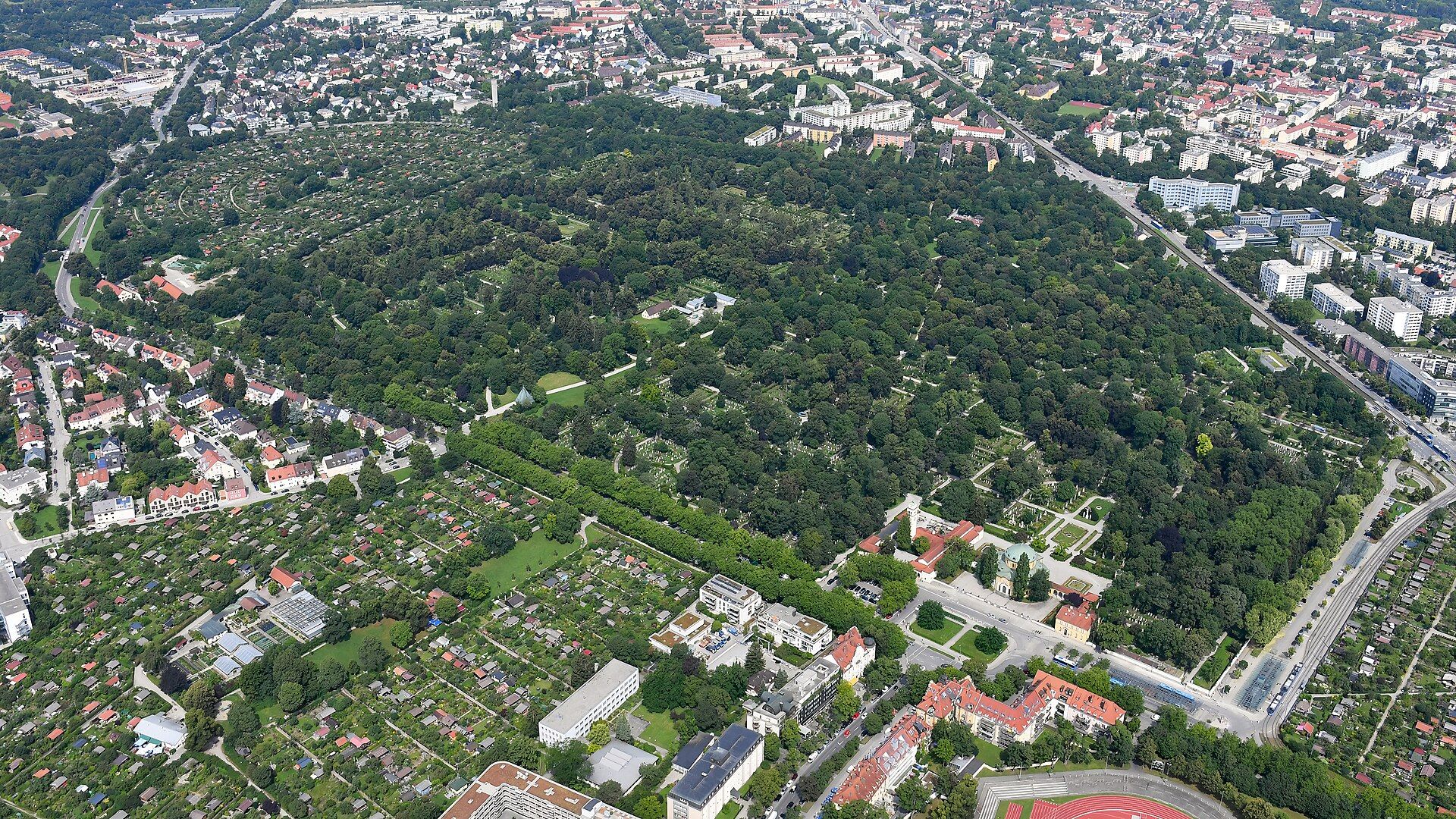
Aerial view of Westfriedhof and its surroundings
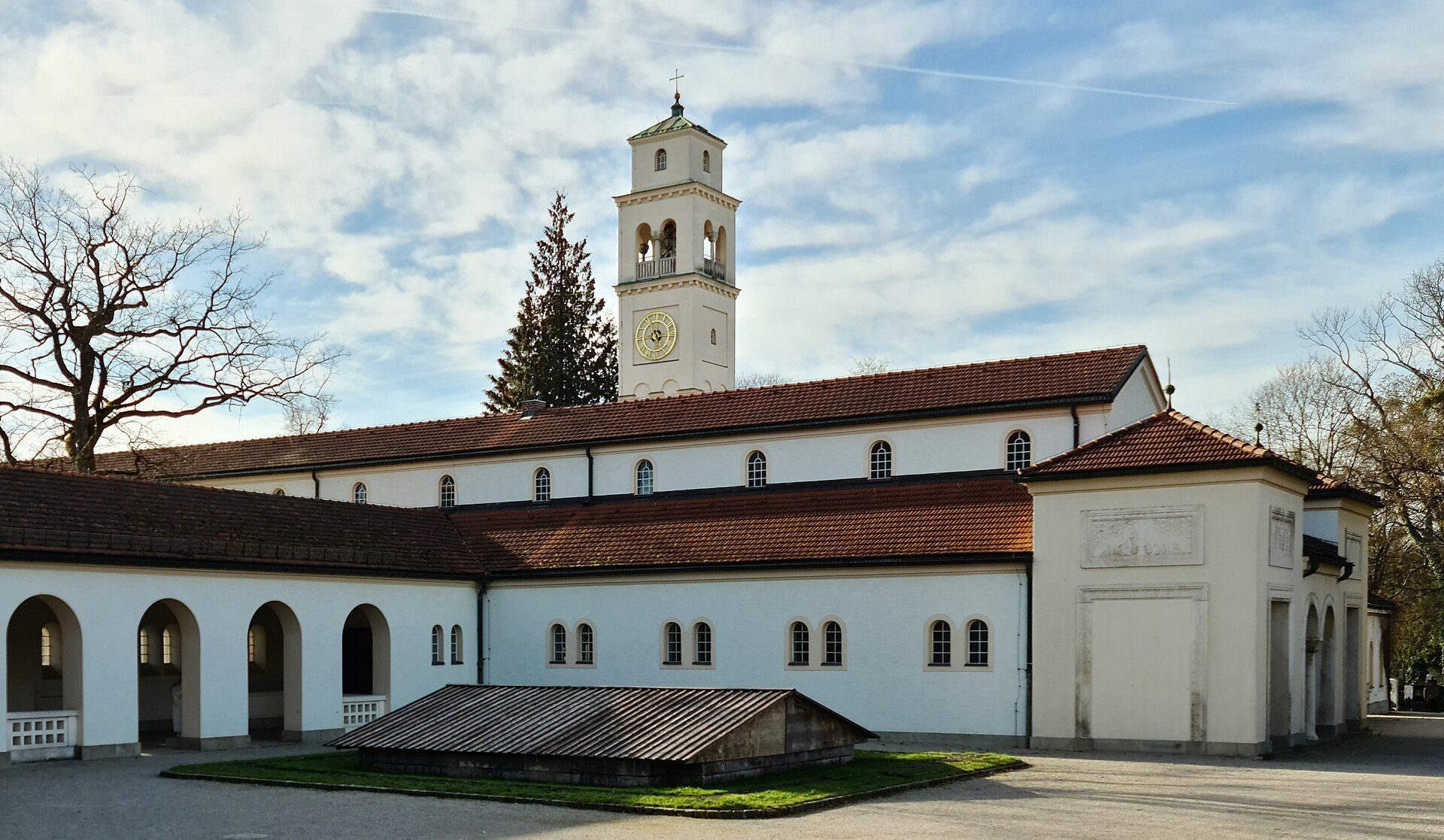
Historic building range beside the funeral hall
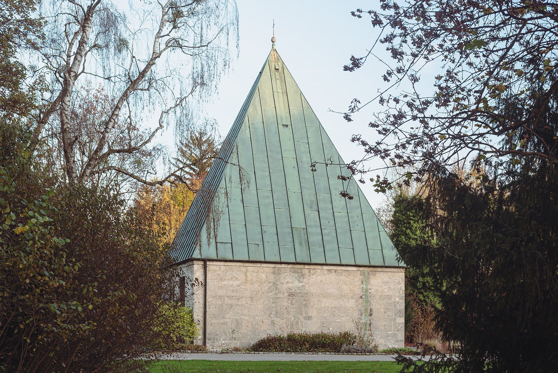
Urn hall by the pond
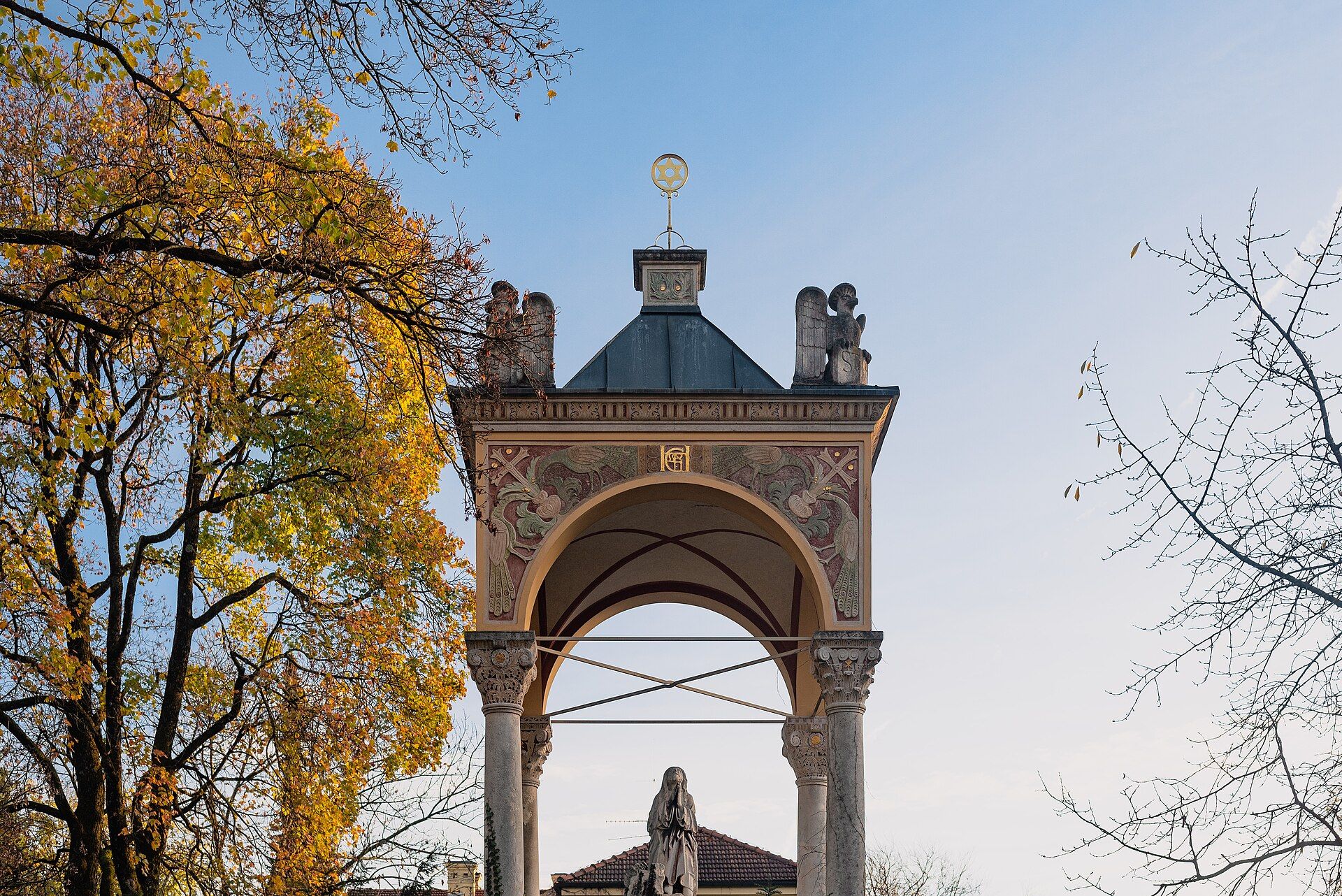
Shrine at Westfriedhof
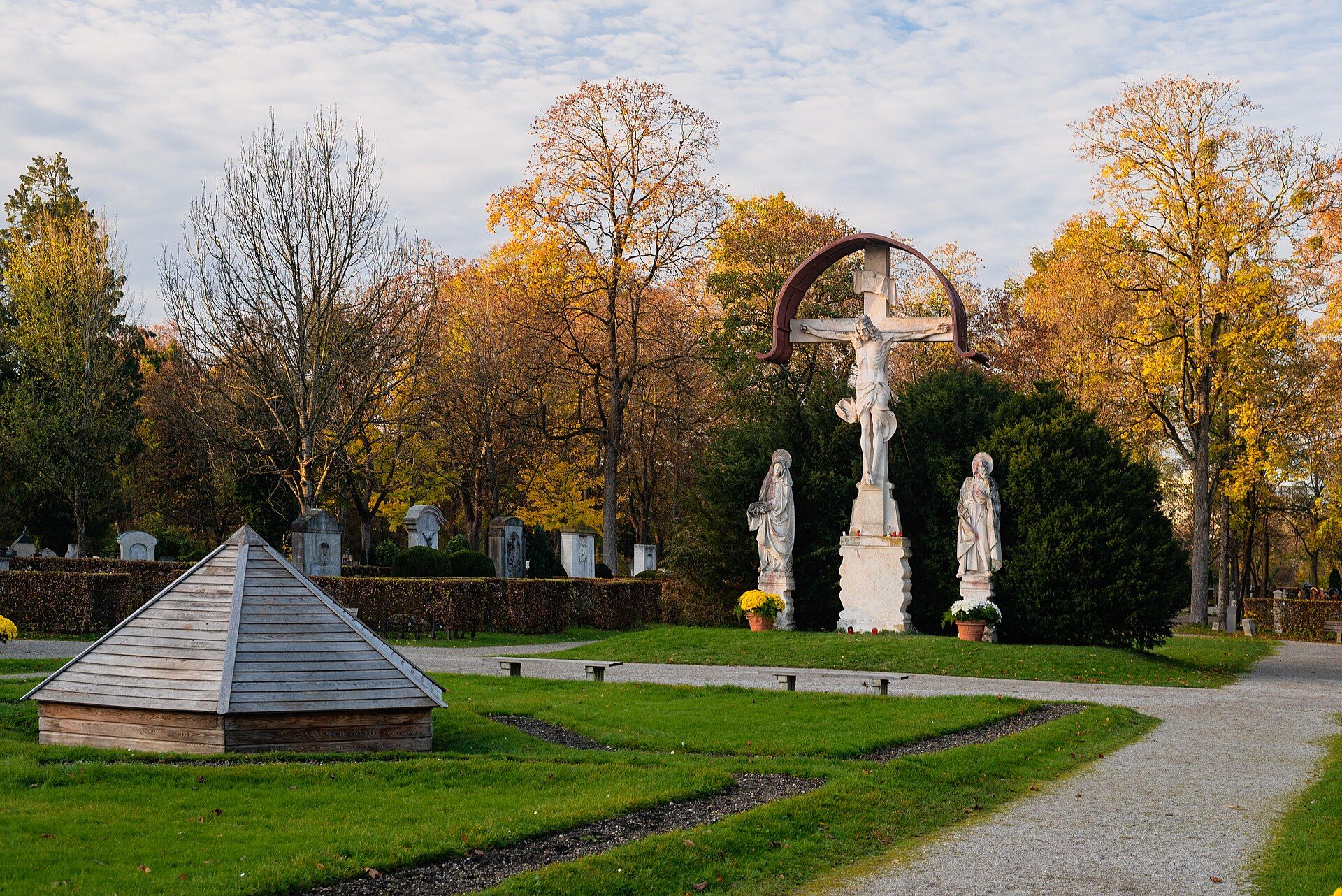
Crucifixion group at Westfriedhof
Further information
About graves
Direct access to the published information about graves.
Frequently asked questions
What is the address of Westfriedhof Munich?
The visitor address is Baldurstraße 28, 80637 München. The main entrance is on Baldurstrasse.
When is Westfriedhof open?
See the full monthly schedule under opening hours.
Is there an official cemetery map?
Yes. The cemetery map page links the official one-page PDF plan and adds an interactive map of entrances, public transport, parking and facilities.
How do I reach Westfriedhof by public transport?
Westfriedhof underground station and bus stops are by the main entrance. Other mapped stops include Hanauer Strasse, Sadelerstrasse, Amphionpark and Wintrichring. Check routes and service changes immediately before travelling.
Which entrances are shown on the plan?
The official plan names the main entrance, Lenbachtor, Tor am Teich, Tor Nederling and Heimgartentor, along with entrances on Wintrichring, Dachauer Strasse and Hanauer Strasse. The interactive map shows eleven visitor entrances.
Where can I park?
The official plan marks parking by several entrances. The interactive map shows specific areas by the main entrance, Tor Nederling, Tor am Teich, Wintrichring and Dachauer Strasse, plus spaces on Baldurstrasse. Charges and time limits vary.
How large is Westfriedhof?
The grounds cover 49.7 hectares and contain about 41,700 burial plots. They are divided into six named areas.
Which grave types are available?
The listed groups are earth graves, urn graves, urn niches, crypts and mausoleums. See grave types for the local overview.
What assistance is mentioned for visitors with limited mobility?
The city lists a transport service for older visitors and loan wheelchairs. The site profile mentions five wheelchairs available against proof of identity. Ask the administration about availability before visiting.
What are the Mosaikgärten?
The Mosaikgärten are a communal urn burial area opened in May 2015 with eight different urn grave types. The official PDF plan shows the burial area; the interactive map marks two mosaic structures mapped as separate areas in OpenStreetMap.